
Habitat opportunity mapping is a Geographic Information System (GIS) based approach that we use to identify potential areas for the provision of key ecosystem services, such as reduced water flow or enhanced air quality, through the expansion of relevant habitats. This is done by identifying possible locations where new suitable habitats can be created, while at the same time taking certain constraints into account (such as current land use or proximity to Scheduled Monuments).
This approach is based on areas that currently have high demand and/or low supply of a particular ecosystem service. We can map habitat networks and opportunity areas based on species dispersal distances and landscape permeability to identify locations that are most suitable. Opportunity maps can also be created to identify Local Nature Recovery Networks and Strategies.
We originally developed habitat opportunity mapping for a project in Northamptonshire and Peterborough and the approach has now been successfully applied across many other areas, including Bedfordshire, Buckinghamshire and Milton Keynes, Cambridgeshire, Cheshire, Liverpool City Region, the Peak District, South Yorkshire, as well as on individual farms and estates.

NCS were commissioned to manage the pre-and post-public consultation LNRS development process, provide the mapped evidence base and co-write the strategy text for the Buckinghamshire and Milton Keynes LNRS. NCS produced maps of the location, extent and condition of habitats across the region, before using opportunity mapping to highlight the best locations to create or restore habitats related to the priorities and measures for the region. NCS also created maps showing the best opportunities to enhance the provision of a range of ecosystem services, along with a range of other opportunities. Maps were analysed and summarised for different National Character Area zones across the study area and weighted by stakeholder priorities.
NCS also created a web-based interactive portal to display all of the maps. This will be publicly accessible when the LNRS is published and the draft output was available for users during the recent public consultation. NCS also created a StoryMap of the draft LNRS for consultation. NCS prepared and delivered all LNRS outputs ready for public consultation, in line with the Statutory Guidance (Sections 104-6 of the Environment Act 2021) and Buckinghamshire Council’s Accessibility Standards, and assisted with delivery and communications. This included report writing, editing, oversight and task allocation of all LNRS outputs, and writing the Priorities and Measures, Stakeholder Engagement and LRNS methodology statement outputs.
This project considers what it would mean to double nature across Northamptonshire and Peterborough and how it could be achieved, and presents this in the form of a Natural Capital Investment Plan. The project began by modelling, mapping and valuing the natural capital assets across the area and identifying key policy drivers influencing decision making. It then determined what it would mean to double nature and calculated the costs and benefits of doing so. It mapped a potential nature recovery network, as well as opportunities to enhance natural capital to meet a range of further objectives. It identified priority areas for targeting these interventions and collated a list of potential natural capital projects being considered across the area. A number of emerging funding mechanisms that could be used to deliver such projects were then identified and described. Six case studies are presented to illustrate the costs and benefits of different types of natural capital projects, and conclusions and recommendations for taking this plan forward are presented.

An assessment of the potential to create new habitats for the benefit of people and wildlife across Northamptonshire and Peterborough using habitat opportunity mapping.

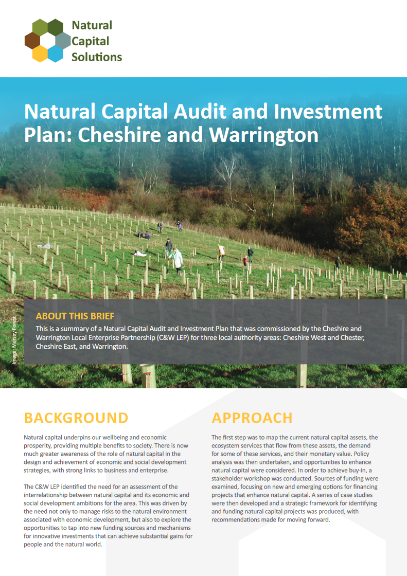
An examination of the interrelationship between natural capital and its economic and social development ambitions for the Cheshire and Warrington area.
An assessment of the natural capital assets of Wentworth Estate, including the condition of habitats, analysis of carbon storage, and the economic and physical benefits that flow from these assets.
